Geography Reference
In-Depth Information
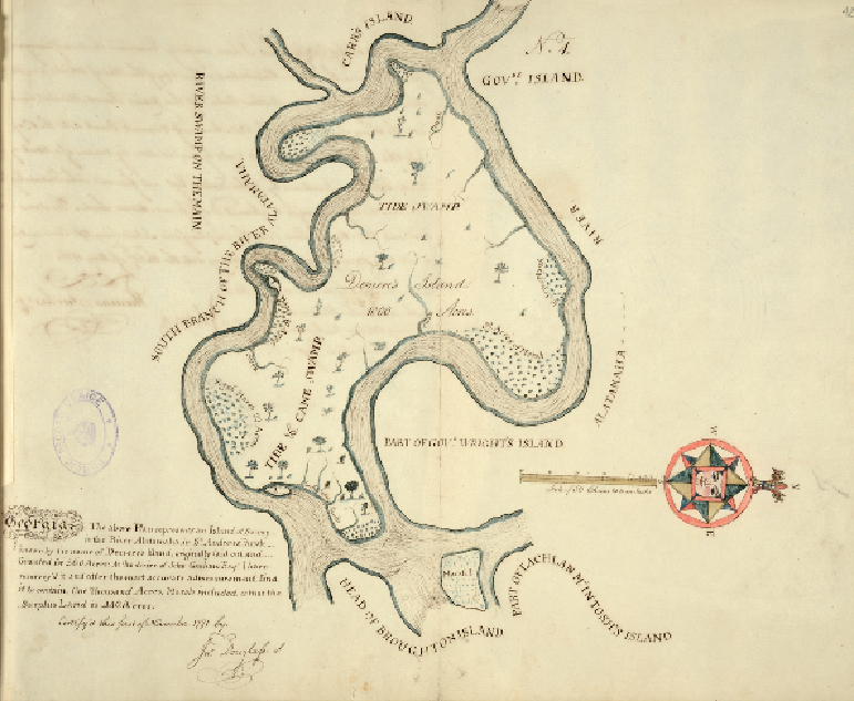
A swamp in time
SOUTH ALTAMAHA RIVER, GEORGIA, 1771
While the Northumberland estate map (
A confiscated Jacobite estate
)
was drawn to record
lands gained, this map records lands lost by an English colonist in America after the War of
Independence in 1783. The British Loyalists' Claims Commission was set up to enquire into
such property losses and to decide which claims merited compensation. The map was part of
a claim for £33,000 by Samuel Douglas for a number of properties and was filed with other
maps and papers submitted as evidence to the Commission. Douglas was among those even-
tually rewarded for his loyalty and his losses, if not to the extent he claimed.