Information Technology Reference
In-Depth Information
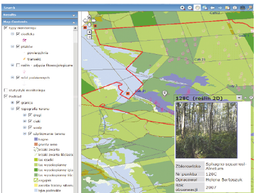
Fig. 7. Geoportal interactive maps tab
8. Stages of system development
The construction of DSS was done in a few phases: retrieving the existing data, designing
the system, programming, testing and users training. The detailed scope of the work can
be described as follows:
construction of the system structure, purchase of hardware and software necessary for
installation of DSS,
creation from scratch of 10 thematic databases and five in the form of geodatabases,
conversion of the existing descriptive and map data to databases,
conducting field studies to identify the parameters of the models,
simulations of several scenarios developed in Hydrological and Ecological Modules,
training of employees appointed to use the system,
developing, training mobile applications for data input,
testing the applications in the field,
development of web maps and web data access page.
9. Results
Already several studies were conducted with the assistance of the DSS. Most of them were
site specific and problem oriented. The results obtained during these studies, when stored
Search WWH ::

Custom Search