Environmental Engineering Reference
In-Depth Information
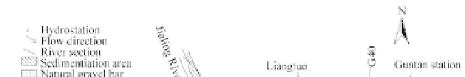
Fig. 7.43
Sedimentation in the Chongqing reach after 80 years of operation of the TGP reservoir. The shadowed
areas indicate the places where cumulative sedimentation would occur. G2-G130 represent the measurement cross
sections (after Wang et al., 1990)
80 to 100 years. During this period, the thalweg of the channel and the main current of flow would be
shifting laterally as the bed rises and flood plains develop along the banks. Near the dam sediment
deposits in the area by the right bank and the main flow channel shifts from the middle to the left (Zhou
and Lin, 2002). The flow velocity in the approach channel will be affected by the main flow during the
flood season after 80 years of operation. Sedimentation in the approach channel also poses a challenge to
sediment management in the reservoir.
The layout of the approach channels has to suit a slowly changing flow during the sedimentation period
of the reservoir. Due to the heavy deposition of sediment expected in the approaches, methods to clear
the approaches are major issues in the selection of the approach layouts. The downstream lock approach
is along the left bank and is protected by a dyke 3,550-m long on the right (Fig. 7.44). For the upstream
approach, however, both the large tows using the locks and the smaller ships using the lift would share
the same approach channel so that the sailing of all ships would be shielded.
Because the reservoir is about 700 km long, it will take a long period of time before the deposition in
the vicinity of the dam will become significant. Thereafter, sedimentation would begin to be the factor
dominating the morphology of the river reach in the vicinity of the dam, which affects the deposition in
upstream approaches and the deposition of sediment in and around them. Great effort has been devoted
to the estimation of deposition in the region. Both physical and mathematical models have been applied.
The model tests have shown that when deposition in the dam region increases, particularly when the
flood plain at the convex bank on the right at a spot just a short distance upstream of the approach
channel grows with time, the main current of the river in front of the dam would be pushed gradually to
the left for a distance up to about 290 m. This means that the optimum location of the entrance to the
approach channel would also change gradually as deposition in the reservoir proceeds. The optimum
location of the entrance to the approach channel is, therefore, a rather important matter. Theoretically,
one location of the entrance to the approach channel cannot suit the changing currents and that is why
there is the possible need of rebuilding the entrance of the approach channel later at a certain stage of
operation. As indicated previously, this is a unique problem arising from navigation in a channel molded
in a deep and narrow reservoir by sedimentation.


Search WWH ::

Custom Search