Environmental Engineering Reference
In-Depth Information
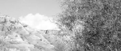
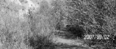
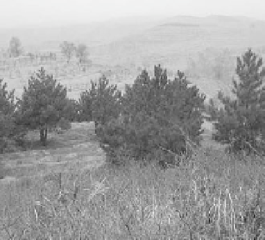
(a) (b)
Fig. 6.14
(a) Planted trees in the Xizhao Gully on the Loess Plateau, northwest China trapped almost all of the eroded
sediment from the slopes; (b) Reforestation of the Fengshenshan hill in Shanxi Province in the east side of the Loess
Plateau
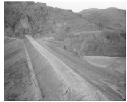
(a) (b)
Fig. 6.15
(a) A sediment check dam in the Sha-anxi Province has trapped sediment and created fertile farmland; (b) A
new sediment check dam in Shanxi Province has been completed and begun to trap sediment (See color figure at the
end of this topic)
and thousands of sediment-trapping dams on the Loess Plateau have resulted in a sharp reduction in
sediment load to the lower Yellow River. Figure 6.16 shows the variation of annual sediment load
transported to Lijin on the lower Yellow River. The average annual sediment load transported to Lijin
was about 1 billion tons before 1985 and the value has been reduced 60% since 1985. It is estimated that
about 300-500 million tons of the sediment reduction are due to reforestation and sediment-check dams
on the Loess Plateau.
6.2.7
Artificial Flood
The recently impounded (2002) Xiaolangdi Reservoir is located about 800 km upstream of the Yellow
River mouth and it is the most downstream gorge-type reservoir on the Yellow River. The multi-purpose
reservoir is mainly for flood control and sediment retention to reduce siltation in the lower Yellow River.
The total capacity of the reservoir is about 12 billion m
3
, of which more than 7 billion m
3
will be used for
trapping sediment. The sedimentation in the lower reaches of the river will be reduced after impounding


Search WWH ::

Custom Search