Environmental Engineering Reference
In-Depth Information
(a) (b)
Fig. 6.12
(a) A machine cutting the land by the levee by 40 m and casting concrete; (b) The anti-seepage wall 20 cm
thick and 40 m deep to control seepage and piping (See color figure at the end of this topic)
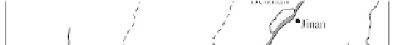
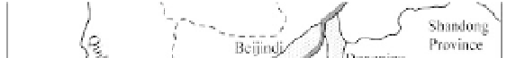
Fig. 6.13
Locations of the Dagong, Beijindi, Dongping Lake, Beizhan, and Nanzhan flood detention basins by the
lower Yellow River
high as 10,000 t/km
2
yr. Planted trees on the slope suffer from erosion and too low soil water. Only the
trees in the gully may grow up and form a forest. The planted trees in the gully have trapped the most
eroded sediment. Almost no sediment is transported out of the gully. In the southeast part of the Loess
Plateau reforestation may be successful on hill slopes as well. Figure 6.14(b) shows the reforestation of
the loess hill slopes in Shanxi Province, which effectively reduces soil erosion.
Sediment-check dams affect the river sediment load more directly. Farmers build the sediment-check
dams under the encouragement of the government to create farmland, which is usually much more
productive than the slope land. Figure 6.15(a) shows a sediment check dam on the loess plateau, which
has trapped sediment and created fertile farmland. Figure 6.15(b) shows a new sediment check dam in
the east part of the loess plateau, which has been just completed and begun trapping sediment. Reforestation


Search WWH ::

Custom Search