Geoscience Reference
In-Depth Information
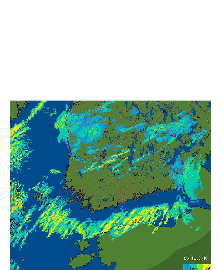
The organization of convection in a lake-effect snowstorm depends on the ratio of the wind
speed to the maximum fetch distance. When the wind is strong, offshore convection is
rapidly organized into horizontal convective rolls. When the wind is weaker, it is more
likely that bands parallel to the shoreline (and perpendicular to the mean wind) are formed
in the land-breeze convergence zone. With very weak winds, convection can be organized
into vortices that stay over the sea and have the structure of a miniature hurricane (Laird et
al., 2003). These vortices provide another example of mesoscale weather systems which can
only be observed with remote sensing instruments.
Fig. 10. Lake effect snow 26.11. 2010 10 UTC. Pseudo-CAPPI reflectivity composite of 5
Finnish and 2 Swedish radars at nominal height of 500 m.