Information Technology Reference
In-Depth Information
6 Discussions and Considerations
The motivation of the H-GIS was to apply spatiotemporal informatics to humanities
(especially of area studies) for facilitation of data usage and data integration with
natural and technological studies. The H-GIS has made progresses in collaboration
with some international projects such as ECAI (The Electronic Cultural Atlas
Initiative) and PNC (The Pacific Neighborhood Consortium). ECAI, based at
University of California, is a global consortium of people who share the vision of
creating a distributed virtual library of cultural information with a time and place
interface [20]. The H-GIS and ECAI keep in exchanging technologies and knowledge
about spatiotemporal informatics. PNC, mainly supported by Academia Sinica,
explores issues of interdisciplinary collaboration, and the development of the cultural
knowledge contents [21]. The focus of PNC is not exactly on spatiotemporal
informatics, but many members engage in digitization of materials, programming
spatiotemporal tools and so on for humanities' contents. The H-GIS also keeps in
communicating with PNC about spatiotemporal issues. Spatiotemporal informatics in
the humanities is gradually becoming recognized as an important paradigm in Japan.
Some academic societies such as “IPSJ SIG Computers and the Humanities” and
“Branch of Historical Geography, The Human Geographical Society of Japan”, for
example, are interested in spatiotemporal informatics. The H-GIS keeps relationships
with these societies.
(b)
(a)
(c)
(d)
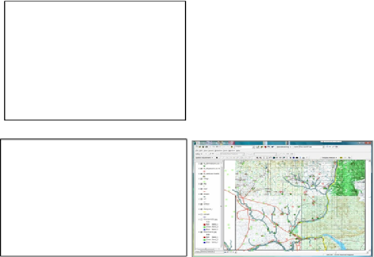
Fig. 8.
Research Examples using HuMap and HuTime:
(a) is a landscape analysis, (b) is a
Malaria risk analysis, (c) is a temporal analysis about weather and disasters, (d) is a
spatiotemporal analysis about Thai monks' movement