Geology Reference
In-Depth Information
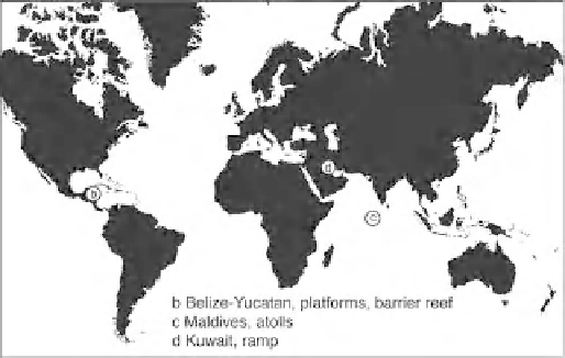
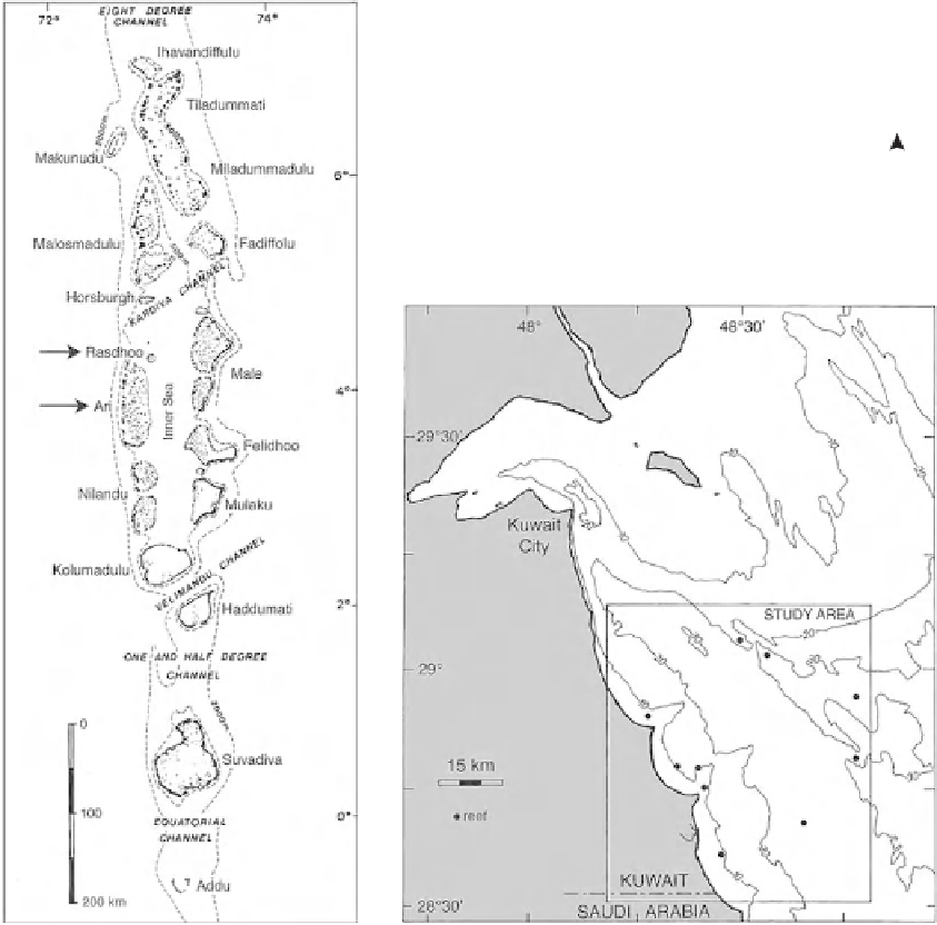
(a)
(b)
(c)
N
(d)
Study
areas
N
N
Fig. 1.
Location maps of the study areas. (a) General geographical locations. (b) Map of the Belize-Yucatan area with
carbonate platforms Glovers, Lighthouse, Turneffe (Belize) and Chinchorro (Mexico), as well as Belize Barrier Reef. For
individual sample locations on platforms see Gischler & Lomando (1999). Barrier reef sample traverses indicated by
labelled black lines. Platforms and barrier reef are bathymetrically bounded by 200 m contour. (c) Maldive archipelago.
For location of individual sample points see Gischler (2006). (d) Kuwait ramp area. For individual sample locations see
Gischler & Lomando (2005).