Geology Reference
In-Depth Information
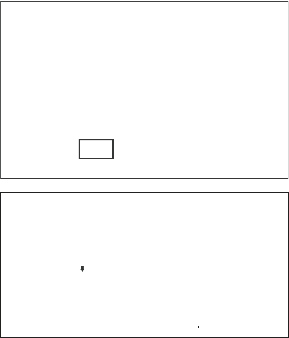
(a)
(b)
FLORIDA
G U L F
N
O F
25 00'
M E X I C O
STUDY AREA
MARQUESAS
KEYS
THE
QUICKSANDS
KEY WEST
24 30'
km
0
50
82 30'
82 00'
81 30'
81 00'
Fig. 6.
(a) Space shuttle photograph and (b) map showing lower Florida peninsula and Florida Keys. Box in lower left of
photograph outlines the Marquesas Keys and the Quicksands area where large amplitude sand waves comprised mostly of
Halimeda
plates are actively forming due to tidal currents. Image courtesy of the Image Science and Analysis Laboratory,
NASA, Johnson Space Centre. Map modifi ed from Shinn
et al
. (1990).