Environmental Engineering Reference
In-Depth Information
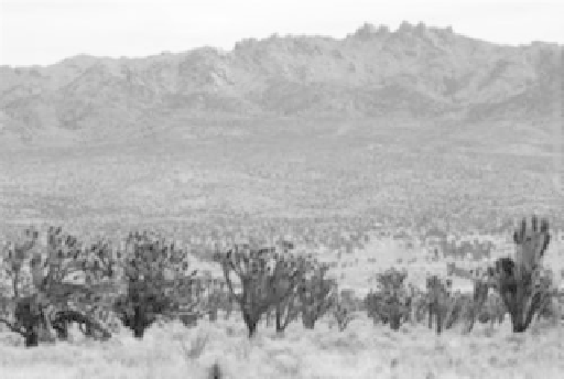
FIGURE 1.21
Photograph of the Mojave Desert in California. (Courtesy of Todd C. Esque.)
FIGURE 1.22
Photograph of the Sonoran Desert east of Guaymas, Sonora. (Courtesy of Robert H. Webb.)
while the southern portion comes under the influence of a subtropical high-pressure cell
and has a summer maximum of precipitation. Extreme aridity is relatively limited in
extent, with the most arid regions lying along the Gulf of California and in the Mojave.
Even in such hyperarid areas, fluvial activity is probably significant because of the close
proximity of high mountain ranges (Figures 1.21 and 1.22).
A major control of the development and climatic evolution of the deserts of North
America was the Cordilleran orogeny, which began at the close of the Cretaceous period
and continued into the Cenozoic. This involved the intrusion of massive granite batholiths
in the Sierra Nevada and Idaho and low-angle thrusting of immense slabs of rock eastward
over one another along a line extending from Mexico to northwestern Canada. This
thrusting ceased in Miocene times (c. 12 million year BP), but uplift and tectonic processes
continued thereafter. Structural domes were uplifted, volcanism occurred, and rivers cut
spectacular canyons into the uplifted masses. The Basin-Range province started to develop
in the late Oligocene, creating a landscape of fault-bounded blocks and troughs. This was


Search WWH ::

Custom Search