Environmental Engineering Reference
In-Depth Information
E
O
20
Zimbabwe
M
Botswana
Namibia
Orange
30
Approximate northern limit
of Kalahari Desert
South
Africa
0
500
Kalahari Group sediments
km
E = Etosha pan
O = Okavango Delta
M = Makgadikgadi basin
20
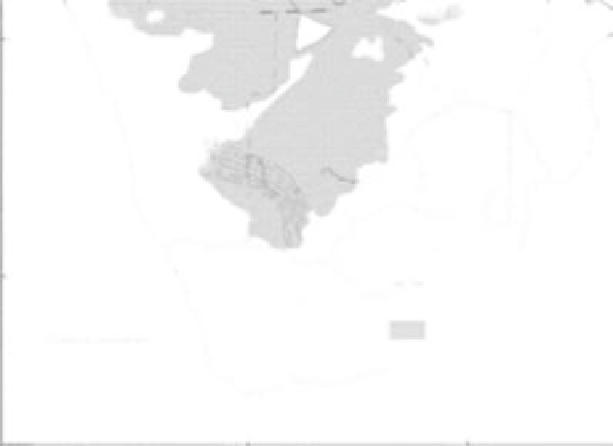
FIGURE 1.6
Map of the Kalahari Desert in southern Africa. (From previously unpublished data. With permission.)
“Kgalagale,” which means “always dry.” However, the area covered by the term is far from
clear. Three main regions occur (Figure 1.6).
35
1. The Kalahari dune desert in the arid southwest interior of Botswana and adjoin-
ing parts of Namibia and South Africa. The primarily summer rainfall is less than
8 in. per annum and is just sufficient to stabilize the plinths of a major field of
dominantly linear dunes.
2. The Kalahari region (or thirstland) approximately delineated in the north by
the Okavango Swamps and in the south by the Orange and Limpopo Rivers.
This is an area of little or no surface drainage despite a relatively higher rainfall
(c. 23.6 in. per annum). It is almost entirely covered with grass and woodland and
has extraordinarily low relief.
3. The Mega-Kalahari is an extensive area consisting of a basin infilled by continental
sediments of the Kalahari Beds. This extends from beyond the Congo River in
Zaire to the Orange River in South Africa. Precipitation may be as high as 59 in.,
and vegetation may range from savanna to tropical moist forest. Nonetheless,
it displays evidence for formerly more extensive aridity, in terms of both the
development of ancient dune systems and of the widespread distribution of closed
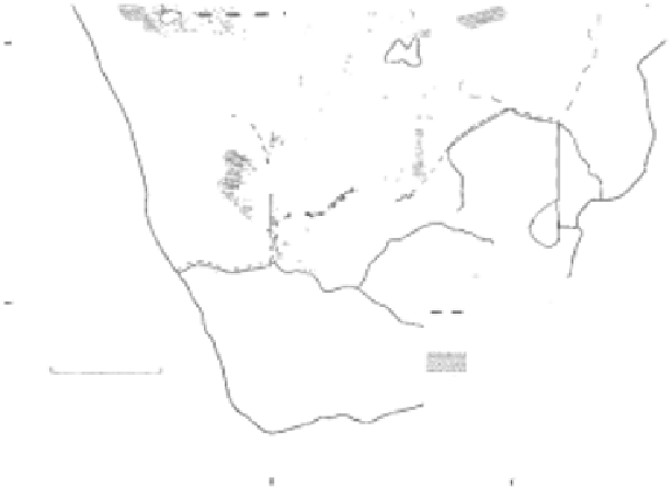
depressions, called pans (Figure 1.7).
36
The Kalahari is another long-continued area of terrestrial sedimentation, with sequences
of
marls
,* sands, lake deposits, calcretes, silcretes, etc., dating back to the Cretaceous. These
beds, which are called the Kalahari Group, are ill exposed, and much of the information
comes from borehole records. Dating evidence is still slender, but there is general agreement
that the sediments accumulated under arid to semiarid environments. The Kalahari Group
*
Marls are clay deposits containing large amounts of calcium carbonate that are deposited in lakes.
Search WWH ::

Custom Search