Information Technology Reference
In-Depth Information
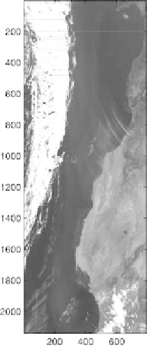
Fig. 7.21.
ThiS SeaWifs image has been taken over West Africa and the Canarie
islands on January 5th, 1999. LAC picture 2141
×
793
the training phase, and considering the large amount of available data, the
performances thus estimated may be considered as fully significant.
The expertise was provided through the GAC image. That image had
additional information, from two sources:
•
Information that was provided by SeaWifs was available, such as land
masking, presence of clouds.
•
A pixel classification of the GAC image, using different optical models pro-
vided from atmosphere experts, was also available. Figure 7.22 shows the
expert-processed GAC picture. On that image, five classes were identified
by the expert: aerosols that arise from the desert, so-called case 2 waters,
which are waters with high organic matter contents, sea aerosols, clouds
and land. Actually the pixels that are assigned the land label are residual
pixels for which no label was provided by the expert
•
Note that both types of information may contain errors, just as any expert-
based classification of highly complex phenomena. For instance, the expert
sought five classes. Therefore, different aerosols may have been clustered
in the same class if he had no appropriate physical model to discriminate
between them.
Search WWH ::

Custom Search