Environmental Engineering Reference
In-Depth Information
Table 6.19
The area affected by flood for return period of 100 years
Area (km
2
)
Type
Percent
Coniferous forests
0.18
94
Arable land
0.00
1
Urban fabric
0.01
5
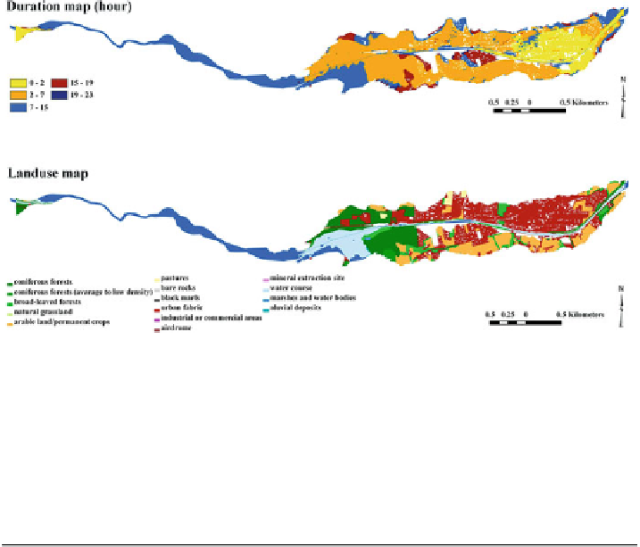
Fig. 6.71 Flood simulation for 100 years return period with the assumption of dyke break and
affected land use map
Table 6.20
The area affected by flood for a 100-year return period
Area (km
2
)
Type
Percent
Coniferous forests
0.66
30
Arable land
0.46
21
Urban fabric
1.07
49
6.12 Trend Detection in Hydrometeorological Variables
The study area has a dry and mountainous Mediterranean climate (OMIV) with
strong inter-annual rainfall variability. Observed data at the Barcelonnette station
over the period from 1961 to 2009 show minimum annual precipitation of 358.2 mm,
a maximum of 1074.8 mm and an average of 660.30 mm. There are five stations
close to the Bracelonnette station (X: 945220.243; Y: 241478.237; Altitude:
1155 m), called Sain-Paul (X: 957569.788; Y: 264628.877; Altitude: 1903 m),
Condamine-Chatelard (X: 950635.645; Y: 249358.069; Altitude: 1325 m), Jausiers
(X: 9522314.44; Y: 243388.73; Altitude: 1510 m), Uvernet-Fours (X: 947298.32; Y:


Search WWH ::

Custom Search