Environmental Engineering Reference
In-Depth Information
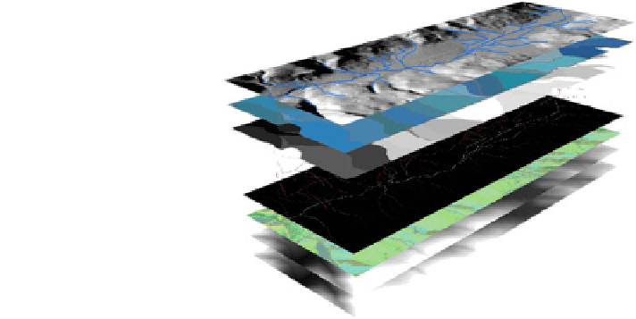
Fig. 6.9 Stream network
delineation using
ArcHYDRO tools
The black line represents the observed stream network and the red line shows the
modeled stream network. By reviewing the Fig.
6.9
it seems that overlay of (b)
IDW, (d) Spline, (e) Kriging, Circular, (f) Kriging, Exponential, and (h) Kriging,
Stable produced the weakest results, mainly in the upstream where a small part of the
channel was missing. The results obtained from (c) Topo to Raster, (g) Kriging,
Gaussian and (i) Kriging, Spherical is considered to be in better agreement with the
observed drainage network. By focusing on details and the interpretation of results, it
is concluded that the drainage networks generated by the Kriging, Spherical allowed
a much more accurate delineation of the stream network.
As shown in Fig.
6.10
, the agreement between drainage networks based on
IDW DEM with the observed drainage network is not perfect. In particular, a
small part of the drainage network in the main channel (upstream) is missing in
the IDW DEM. On the other hand, this part of the drainage network is obviously
clear in the Spherical and agreed better with the observed drainage network.
Therefore, as would be expected, the Spherical was the best overall modeled
drainage network, and it was comparatively more accurate than the river from
the DEMs generated with other interpolators, even in the floodplain which is a
flat area.
The results of modeled and observed drainage networks for all interpolation
methods were estimated visually and tallied into an error matrix (Table
6.7
).
Figure
6.11
represents the comparison between modeled and observed drainage
networks for the Spherical method.
(a) Representing river in observed not defined as such in the modeled river
showing ''omission error''; (b) Agreement in nonriver in modeled and observed
river indicate ''correct no river''; (c) Representing river in modeled not present in
observed indicate ''commission error'' and (d) Representing agreement in river in
both modeled and observed is ''correct river''.
Search WWH ::

Custom Search