Geoscience Reference
In-Depth Information
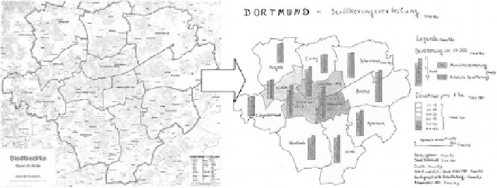
Fig. 2.9 Mock-up for an atlas map exercise, from 'Ausbildungsleitfaden' (2000)
name parts like Rio or Cape in a names index, and what to do with homonyms and
allonyms. First they would have to copy all names from a map, identifying their object
category and location, and then reordering them according to a specific alphabet.
A final aspect of map production would be an annotation exercise: how to
prepare one's map or atlas in such a way—through adding marginal information—
that an independent librarian would be able to list all the relevant information
(impressum, publisher, author, date and place of publication) for a web bibliogra-
phy or catalogue.
2.7 Map Use Exercises
Interpretation of maps or doing measurements on them is the other half of cartog-
raphy, and although map use exercises are not primarily oriented at cartographers,
they are still very suitable to increase the cartographers' awareness of how map
users react to their products. Doing these kinds of exercises, they would for instance
find out to which degree different measurement outcomes thought to be relevant by
map users are just a consequence of generalisation.
Some examples of map use exercises are e.g. how to prepare a slope map (where, per
grid cell the difference between the highest and lowest point is assessed first and then
converted in a slope value, assigned to the grid cell centre, and followed by interpolation
to produce an isoline slope map (Warn
1980
)), drainage density assessment (here the
length of rivers per km
2
grid cell would be computed, and the grid cell data categorized)
or an exercise to interpret landforms from a contour line map (Schulz
1995
).
2.8 Map Exercises for the Future
The framework of all these cartographic exercises described here has been different
in scope—there were those meant for in-house training for apprentices, there were
exercises that were part of the training of geographers and exercises meant for
Search WWH ::

Custom Search