Geoscience Reference
In-Depth Information
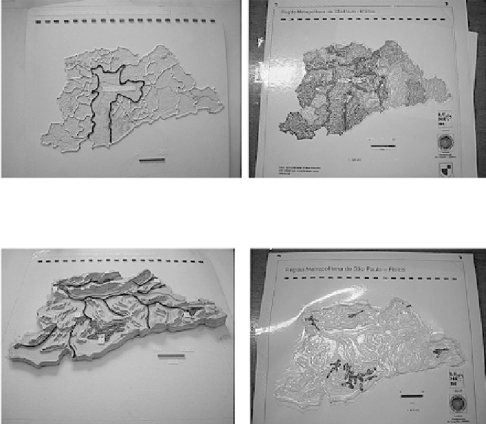
Fig. 24.8 Metropolitan region of S
˜
o Paulo—political—produced during the project (original and
copy in thermoform)
Fig. 24.9 Metropolitan region of S˜o Paulo—physical—produced during the project (original and
copy in thermoform)
24.3 Final Considerations
The experience acquired in the area of cartography for visually disabled people and
a positive evaluation of the tactile resources built until now, also in schools for
auditive disabled people, demonstrated that the tactile didactic materials can and
must be used by people with hearing and/or visual disability in the learning of
Geography, motivating the learning through senses: touch, sight and hearing.
The materials produced make it possible to work in an integrated manner, with
children and young visually disabled people, and with “no-disabled” students,
starting a new area for the cartographic discipline development.
Beyond school, the media frequently uses different types of graphic
representations (maps and mainly graphics) in newspapers, magazines, Internet
and on TV to illustrate or explain several subjects. The visually disabled ones
receive, thus, this sort of information through an oral representation, which is
not always convenient. The Tactile Cartography may reduce and overcome this
information restriction.
Search WWH ::

Custom Search