Geoscience Reference
In-Depth Information
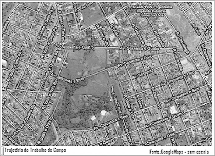
Fig. 22.11 Map delivered to pupils with the course of fieldwork
We provided maps to the pupils with a highlighted route so they could follow the
steps of the fieldwork. We decided to use Google maps to present them with an
accessible and free use of maps (Fig.
22.11
). The option of not introducing them to
'scales' was made because the main goal of the work was not to ask them for
'calculations' and cartographic operations. Along the way, besides the map, each
pupil had a digital camera, so they could record the aspects that drew most attention
(Fig.
22.12
). Besides enhancing the pupil's visual field perception, the idea was to
capture images able to allow a further analysis of the elements that were more
interesting to them. This activity was more important for the deaf pupils. Helped by
a school interpreter, we talked about the importance of the preservation of our water
resources as well as about the impacts of the urbanization process and of the
irresponsible garbage in the Corumbata
´
river, which is located near the school
that they attend.
During the fieldwork, besides the problems related to the waste and pollution of
water sources, housing issues also attracted the attention of pupils. Back to the
school, we had a picnic in the schoolyard and talked about the impressions the
pupils had about what they had seen. They liked the beauty of the sky, the animals
they found along the way, such as cows, birds and dogs; they also liked the
fieldwork in itself, but they did not like the garbage, the dirty water and the holes
on the road.
Search WWH ::

Custom Search