Geoscience Reference
In-Depth Information
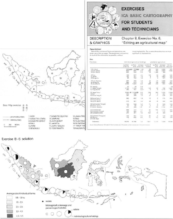
Fig. 2.3 Exercise on agricultural mapping with statistical data and base map (upper part). For
solution see lower part. From the
Basic Cartography Exercise manual
(1991)
manuals (with contributions from France, FRG, GDR, Israel, Japan, the Netherlands,
Nigeria, UK, USA and Sweden) and an exercise topic. I travelled all over Europe to
visit cartographic establishments in order to solicit 500 printed copies each of their
best exercises, framed in a uniform ICA template and to put together this exercise
manual, which finally consisted of contributions from, Austria, Belgium, Canada,
France, Germany, Hungary, Israel, Japan, the Netherlands, Sweden and Switzerland.
Search WWH ::

Custom Search