Geoscience Reference
In-Depth Information
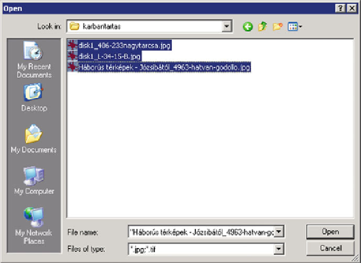
Fig. 12.5 Importing groups of maps into the system
right of writing from a few client computers. The map data to be uploaded into
the database are placed here, in the buffer. After loading the map into the database,
the buffer becomes free. The configuration file of the system includes, among
others, this place as well, which is specified at the setting of the system.
12.5 Query and Servicing
The system includes a configuration file, which contains the parameters necessary
for the operation. This file ensures that the places that are needed for the access to
and management of the data and maps are flexibly specified. This guarantees the
smooth running of the system even if the operation system is completely
reconfigured. In this case, the accessibility and addresses of the modified places
have to be rewritten in the config file only. There is another parameter file, which
gives the names of the data columns to be displayed online. This is necessary
because not every user is interested in every data column. This parameter file allows
us to specify which data columns should be visible for the online query.
When uploading data, complicated queries may be necessary. This is offered by
a series of SQL commands, which allows the user to make a combination of SQL
commands at wish (Fig.
12.6
).
Search WWH ::

Custom Search