Travel Reference
In-Depth Information
Overview
Tanque Verde Ridge is the westernmost mountain finger pointing toward Tucson from
the Rincons. As you climb it, views of all the other ranges surrounding the city open,
and on clear days you can see into Mexico as well as many of the other minor ranges
in southern Arizona. Starting in lush desert vegetation, you'll climb through grass-
lands and into piñon-juniper vegetation to the small Juniper Basin campsite.
Route Details
The trailhead is on the right side of the entrance of the Javelina Picnic Area, clearly
marked with an information board and map. Looking south from the picnic area, you
can see Tanque Verde Ridge, up which you'll be hiking, on the horizon.
The flat, narrow trail heads southwest through thick desert vegetation of cacti and
ocotillos. During your first 5 minutes of hiking you'll swing southeast, drop and cross
a small wash that's usually dry, and reach a trail register where you're encouraged to
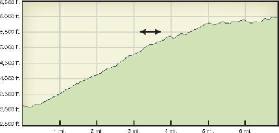
sign in. This is the last signpost until you reach the Juniper Basin campsite, almost 7
miles up the ridge.
The trail now climbs southeast toward Tanque Verde Ridge. A few false trails
break off to the right, affording better views of Tucson, but keep climbing and dipping
a couple of times through almost imperceptible dry stream beds. Views of the Tuc-
son basin will open up. Looking a few miles due west, you'll see an open area dotted
with rows of tiny…
what
? With binoculars, you can make out that these are aircraft,
wrapped and stored in what locals call “The Boneyard.” There are more than 4,000