Travel Reference
In-Depth Information
Overview
This enjoyable loop is one of dozens that can be put together from the dense network
of trails lacing the northwestern corner of the national park. Unlike most of the other
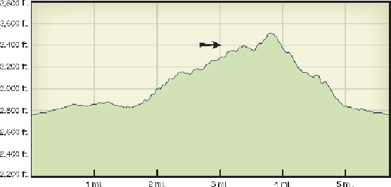
loops, this one provides 760 feet of elevation gain, allowing much better views than
the lower trails immediately to the west. The thick saguaro forest includes the rare
cristate form of the cactus, and a small dam and water tank provide insights into Tuc-
son's history three-quarters of a century ago.
Route Details
From the trailhead, the flat, wide, comfortable
Douglas Spring Trail
heads east,
passing a trail register after 0.1 mile. When you reach the signed Garwood Trail junc-
tion, after 0.2 mile, turn right (south) onto a sandy, narrow trail. The sand is com-
pacted at just the right consistency—hard enough to walk on without slipping, yet soft
enough to provide cushioning for your feet. Perfect!
The surroundings are lush by desert standards, with mesquite trees, creosote
bushes, ocotillos, and many different cacti providing cover for wildlife. This is a won-
derful place to hike during the first rains of the monsoon, when the pungent perfumes
of the summerdried plants are released.
Looking straight ahead (south), you'll admire the views of Tanque Verde Ridge
that dominate the horizon. Almost 0.5 mile along, a metal sign marks the Converse
Trail, which for some puzzling reason is marked as Wentworth Trail on most maps.
Continue south on the Garwood Trail for 0.4 mile farther, crossing the signed and usu-