Travel Reference
In-Depth Information
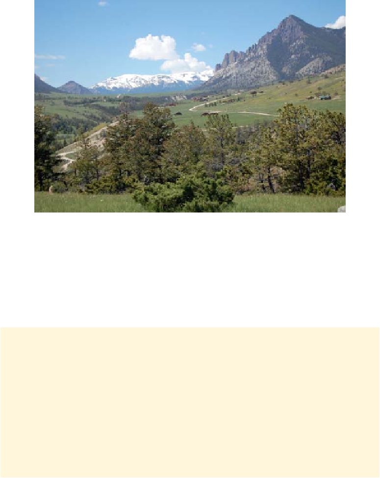
Sunlight Basin shelters ranches, summer homes, and a Forest Service campground.
Sunlight Creek enters the Clarks Fork of the Yellowstone a couple of miles below here. In
1990, 20.5 mi (33 km) of that river received a Wild and Scenic River designation from Con-
gress, preserving it from any development. You can launch kayaks upstream at Crandall Creek
Bridge, but only the most experienced kayakers should consider running the section called
The Box, and then only when the water is not too high.
In another 14 miles (23 km) or so, Wyoming 296 meets U.S. 212.
The Case of the Wandering Mountains
A number of peaks you see from the Chief Joseph Highway, including Heart Mountain,
Steamboat Hill, and Cathedral Cliffs, are part of an amazing geological enigma, the Heart
Mountain detachment. An enormous area of old sedimentary rock, extending from south
of Cooke City to near Cody, became detached from the underlying rocks and slid to the
southeast. Some of the pieces of this “landslide” remain intact and upright; others appear
jumbled. Several dozen such blocks, some in excess of 10 miles (16 km) across, are spread
over an area 66 miles (97 km) long. The sliding surface is nearly horizontal and today has
an average slope of only 2 degrees. Younger volcanic rocks lie between and on top of the
older sedimentary slide blocks and may be part of the slide itself.