Travel Reference
In-Depth Information
the gas station's underground storage tank was located where the ground temperature is one
degree below the flash point of gasoline!
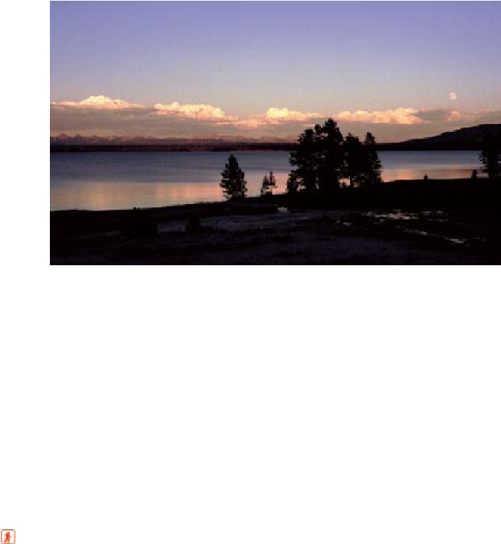
Evening at West Thumb Geyser Basin with alpenglow on the distant Absarokas
West Thumb Bay is actually a smaller, more recent caldera formed within the main Yellow-
stone Caldera about 200,000 years ago and then flooded. Water for its hot springs and geysers
comes up through fractures at the edge of this crater.
The lake's water level is now above its level of 50 years ago, contributing to the periodic
drowning of some of West Thumb's lakeside thermal features. Geoscientists have discovered
that the lake basin has risen and fallen numerous times in the 15,000 years since the Yellow-
stone glaciers started to melt. The movement of the lake is attributed to uplift in the central
part of the Yellowstone Caldera, the axis of which passes by LeHardy's Rapids. When there is
uplift Yellowstone Lake's outlet and northern part rise, and a tilting of the lake's water level
Two short hikes from West Thumb
Yellowstone Lake Overlook Trail
is a loop of a little over 2 miles (3.2 km). Start by walking
southwest from the West Thumb parking lot. After crossing the South Entrance Road (where
there's limited roadside parking), turn right for the shortest way to the top of “Savage Hill,” so
called by concessionaire employees, who call themselves Savages. Pass a riot of wildflowers in
the burned forest, and notice a couple of modest combinations of mud pots, fumaroles, and