Environmental Engineering Reference
In-Depth Information
Agri-mask
The Agri-mask was developed by combining several datasets. Datasets used in the
development of the Agri-mask were the CORINE Land Cover map for the year
2000 (CLC2000), GTOPO30 and ESDBv2 database.
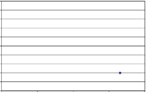
The altitude - latitude relation reflects the area above which no arable agriculture
is possible. This relation is based on the highest points in mountainous areas all
over Europe where agriculture (non irrigated arable land and pastures) was still
found according to the CLC2000 database (see Fig.
7.2
). This relation has been
applied to GTOPO30 dataset to select all grid cells above this agriculture line.
The slope grid database with 8% and 16% thresholds was calculated from the
GTOPO30 database. Soil variables rooting depth (<20 cm), alkalinity (>15%
exchangeable sodium) and salinity (>15 dS/m) were taken from the European Soil
Database (ESDBv2) and Soil Information (SINFO) study (Baruth et al.
2006b)
.
The mentioned thresholds have been based on expert knowledge.
An Agri-mask database was developed by combining those separate grid databases
resulting in the following three classes:
-
Class 0 (suited): areas with no or relatively small constraints to agriculture;
-
Class 1 (unsuited): areas where no arable agriculture is possible (mountainous
areas above a certain altitude, depending on the latitude, and/or very steep slopes
[>16%] and/or limited rooting depth [<20 cm]);
Class 2 (marginal): strongly naturally handicapped areas where agriculture, if
-
practiced, is heavily constrained and restricted to extensive farming (areas with
steep slopes [>8%] and/or high alkalinity and/or salinity [>15 dS/m]).
2000
1800
1600
1400
1200
1000
800
600
400
200
0
30
40
50
60
70
Latitude (degrees)
y = -54.51x + 3743.40
R
2
= 0.92
Fig. 7.2
The relationship between the altitude (in meters) above which arable farming is not
possible anymore and latitude (in degrees)