Information Technology Reference
In-Depth Information
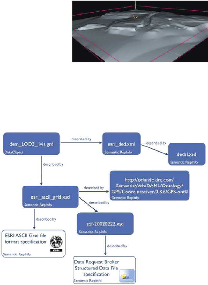
21.5.4.1 ESRI ASCII GRID File:
dem_LOD3_livia.grd
Figure
21.4
is an elevation grid (height map) of the area where
Villa Livia
is located.
It is an ASCII file in the ESRI GRID file format [
219
]:
Fig. 21.4
Elevation grid
(height map) of the area
where Villa Livia is located
21.5.4.1.1 Structural and Semantic RepInfo for ESRI GRID File Format
DataObject dem_LOD3_livia.grd and related RepInfo relationship is shown in
Fig.
21.5
:
Fig. 21.5
RepInfo relationships