Travel Reference
In-Depth Information
7
Trinity Episcopal
Church
1668 Bush St.
Map
4 D4.
Tel
775-1117.
@
1, 2, 3, 10, 10X, 19, 22, 38, 49, 70,
80, 90.
∑
sftrinity.org
Attorney, laid claim to the land
and built houses on it. The
largest of the houses stood at
the center of the hilltop park
until 1936, as the squatter who
had built it refused to move.
It was finally torn down after
the city authorities agreed to
swap it for land on Gough
Street. Steep stairways now
lead to the park's summit and
its delightful views. In the
surrounding streets are scores
of palatial buildings, with
particularly ornate examples
along Broadway, Jackson
Street, and Pacific Avenue
going east-west, and on
Gough, Octavia, and Laguna
streets going north-south.
This dramatic edifice is based on
Durham Cathedral in northern
England, arguably one of the
finest examples of Norman
architecture. The oldest
Episcopal church on the Pacific
Coast, it celebrated its 150th
anniversary in 1999. Its colorful
stained-glass windows were
designed by a pupil of John
LaFarge, a leading figure in the
New York art scene during the
late 19th century. The high altar
displays the 1894 jewel-
encrusted Trinity Cross,
presented as a gift on Trinity
Sunday by the women of the
parish. The church is also home
to the San Francisco Bach Choir.
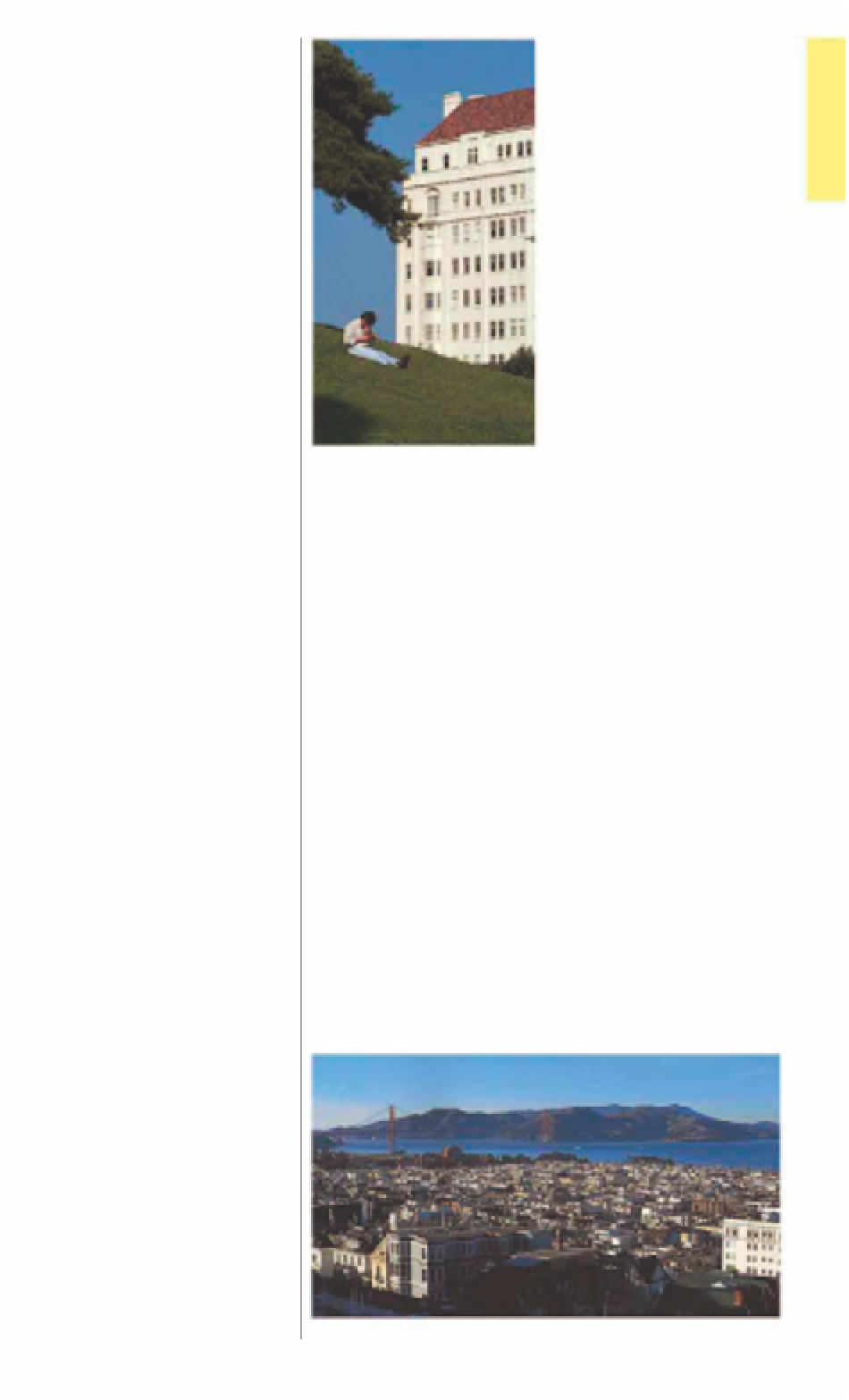
Relaxing in Alta Plaza
4
Alta Plaza
Map
4 D3.
@
1, 3, 10, 12, 22, 24.
Situated in the center of
Pacific Heights, Alta Plaza is a
beautifully landscaped urban
park, where San Francisco's
elite come to relax. There are
angular stone steps (offering
great city views) rising up from
Clay Street on the south side
of the park. These steps may
be familiar to you from films -
Barbra Streisand drove down
them in
What's Up Doc?
The
park has tennis courts and a
playground, and from the
north side of the park you
can see splendid mansions,
including the Gibbs House at
2622 Jackson Street, built by
Willis Polk in 1894.
boasts an abundance of
bookstores, restaurants,
and boutiques.
6
Convent of the
Sacred Heart
2222 Broadway.
Map
4 D3.
Te l
563-
2900.
@
3, 10, 22, 24, 41, 45.
Closed
to the public.
7
∑
sacredsf.org
8
Cow Hollow
Map
4 D2.
@
22, 41, 43, 45.
Cow Hollow, a shopping
district along Union Street, is
so called because it was used
as grazing land for the city's
dairy cows up until the 1860s.
It was then taken over for
development as a residential
neighborhood. In the 1950s the
area became fashionable, and
chic boutiques, antique shops,
and art galleries took over the
old neighborhood shops. Many
of these are in restored
19th-century buildings, lending
an old-fashioned air to the
district, in stark contrast to
the sophistication of the
merchandise on display.
This Neo-Classical villa was
formerly known as the Flood
Mansion. Designed by the
architects Bliss and Faville for
James Leary Flood, son of the
Comstock Mine magnate
(see p104)
, it was completed in
1915. With harmonious
proportions, impeccable
detailing, and Tennessee marble
façade, it is the most refined of
the Pacific Heights mansions.
In 1939 the building became
home to one of the oldest
private schools in California.
5
Fillmore Street
Map
4 D4.
@
1, 2, 3, 22, 24.
Fillmore Street survived the
devastating 1906 earthquake
(see pp30-31)
virtually intact,
and for several years afterward
served as the civic heart
of the city. Government
departments, as well as
private businesses, were
housed in the district's shops,
homes, and even churches.
Today the main commercial
district of Pacific Heights is
located here, from Jackson
Street to Japantown
(see p130)
around Bush Street. This area
The view from Fillmore Street, overlooking Cow Hollow