Travel Reference
In-Depth Information
Santa Rosa
37
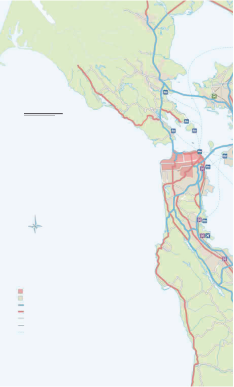
The Bay Area
To the east, the cities of Oakland and Berkeley are reached
via Bay Bridge, while to the north, Golden Gate Bridge
links the peninsula to Marin County. These areas, together
with the suburbs to the south, make up the Bay Area,
which is served by Bay Area Rapid Transit (BART) lines,
CalTrain, and freeways.
37
Novato
SAN PABLO
BAY
101
Fairfax
San Rafael
San
Anselmo
Kent
Lake
Larkspur
Richmond
Corte
Madera
1
580
Bolinas
0 kilometers
0 miles
10
Tiburon
5
Tamalpais
Valley
Stinson Beach
Sausalito
Angel
Island
101
Bay Bridge
(Toll)
Muir Beach
Golden Gate
Bridge (Toll)
SAN
FRANCISCO
80
PACIFIC
OCEAN
1
Stonestown
Daly City
Thornton Beach
101
82
35
South
San Francisco
Pacific Manor
Sharp Park Beach
Pacifica
San Francisco
International
Millbrae
Pedro Valley
San
Andreas
Reservoir
Gray Whale
Cove Beach
Burlingame
280
Montara
San Mateo
Montara Beach
Moss Beach
Crystal
Springs
Lake
Key
Moss Beach
Central San Francisco
El Granada
Urban area
92
Half Moon Bay
Freeway
Major road
Half Moon
BayBeach
Minor road
1
Railroad line
Ferry route
San Gregorio
84
San Gregorio Beach
For additional map symbols
see back flap