Travel Reference
In-Depth Information
are nearby. One of these, a
block away at 1450 Masonic
Street, is an onion-domed
house, one of the most unusual
of the many eccentric mansions
built in the Haight since the
1890s.
Levi Strauss and his Jeans
First manufactured in San
Francisco in the days of the
Gold Rush
(see pp26-7)
, denim
jeans have had a great impact
on popular culture. One of the
leading producers of jeans is
Levi Strauss & Co., founded in
the city in the 1860s. The
company's story started in
1853, when Levi Strauss left
New York to set up a branch
of his family's cloth firm in
San Francisco.
In the 1860s, though still
primarily a seller of cloth, he
pioneered the use of durable
blue canvas to make workpants,
sold directly to miners. In the
1870s his company began to
use metal rivets to strengthen
stress points in the
garments, and demand
increased. The company
expanded, and early in the
20th century moved to 250
Valencia Street in the Mission
District, where it remained
until 2002. Levi's jeans are now
produced and worn all over
the world, and the company
that was founded by Levi
Strauss is still owned by
his descendants.
4
Buena Vista Park
Map
9 C1.
@
6, 37, 43, 66, 71.
Buena Vista Park rises steeply,
569 ft (18 m) above the
geographical center of San
Francisco. First landscaped in
1894, it is a pocket of land left
to nature. A network of paths
winds up from Haight Street
to the crest, where densely
planted trees frame views of the
Bay Area. Many of the trails are
overgrown and eroded, but
there is a paved route up to
the summit from Buena Vista
Avenue. It is best to avoid the
park at night.
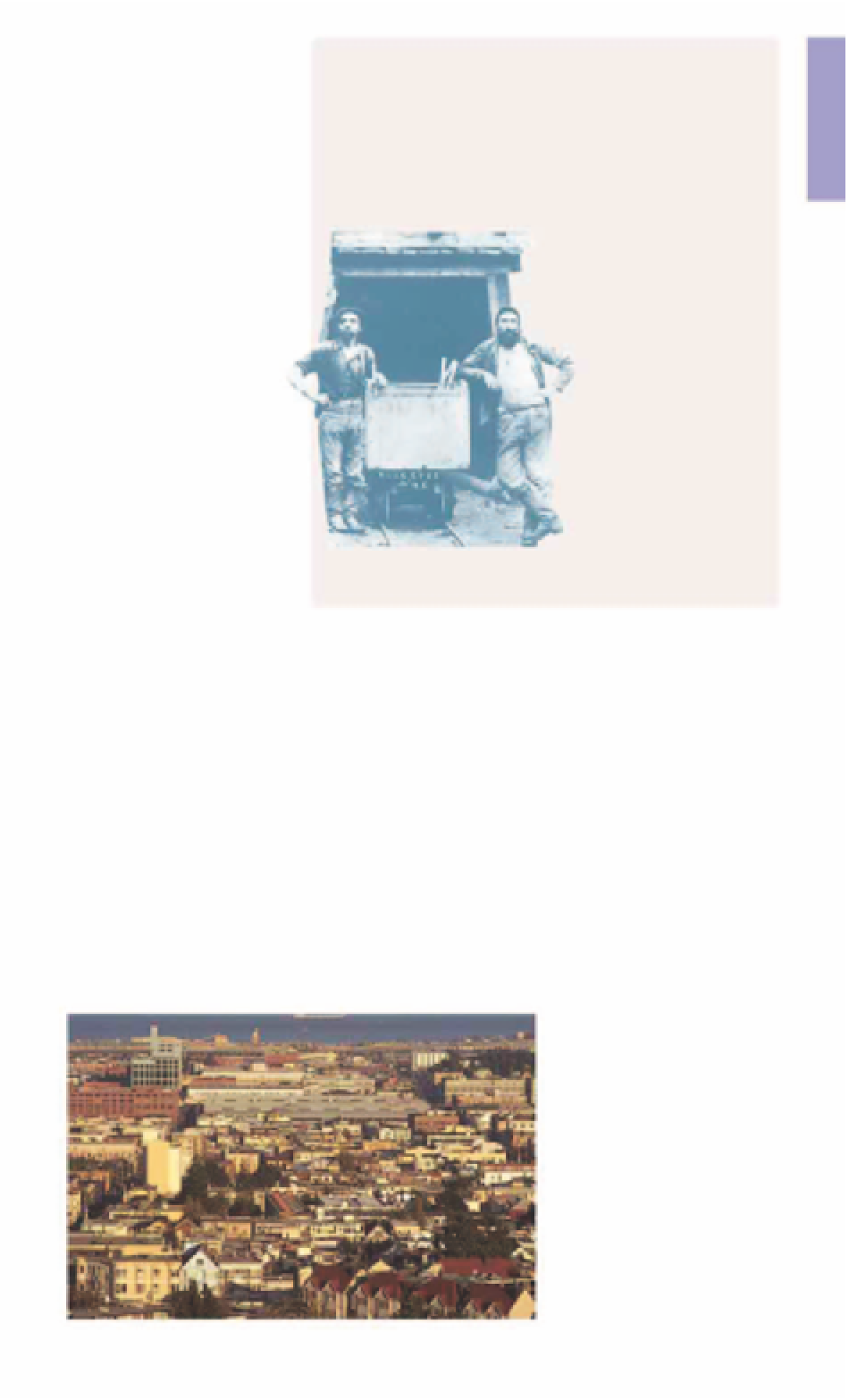
Two miners wearing Levis at the
Last Chance Mine in 1882
5
Lower Haight
Neighborhood
Map
10 D1.
@
6, 22, 66, 71.
v
K, L, M, N, T.
Halfway between City Hall and
Haight Ashbury, and marking the
southern border of the Fillmore
District, the Lower Haight is an
area in transition. Unusual art
galleries and boutiques,
including the Used Rubber
USA shop, which sells clothes
and accessories made entirely
of recycled rubber, began to
open here in the mid-1980s.
These were in addition to the
inexpensive cafés, bars and
restaurants serving a bohemian
clientèle that were already in
business in the area. This
combination has created one
of the most lively districts in
San Francisco.
As in nearby Alamo Square
(see
p131)
, the Lower Haight holds
dozens of houses known as
“Victorians”
(see pp76-7)
, built
from the 1850s to the early 1900s.
These include many picturesque
cottages such as the Nightingale
House at 201 Buchanan Street,
built in the 1880s.
But public housing projects
from the 1950s have discouraged
wholesale gentrification. The
area is safe during the day, but
like Alamo Square, it can seem
quite threatening after dark.
6
Corona Heights
and Randall
Museum
Map
9 D2.
Tel
554-9600.
@
24, 37.
Randall Museum Animal Room, 199
Museum Way:
Open
10am-5pm Tue-
Sat.
Closed
public hols.
7
limited.
∑
randallmuseum.org
Corona Heights Park is a dusty
and undeveloped rocky peak.
Clinging to its side is an unusual
museum for children. The
Randall Museum Animal Room
has an extensive menagerie of
raccoons, owls, snakes and
other animals. The emphasis of
the museum is on participation,
and there are many hands-on
exhibits and workshops.
Children can also enjoy
climbing on the craggy outcrops
in the park. Corona Heights was
gouged out by brick-making
operations in the 19th century. It
was never planted with trees, so
its bare red-rock peak offers an
unimpeded panorama over the
city and East Bay, including the
winding streets of Twin Peaks.
View from Corona Heights across the Mission