Geology Reference
In-Depth Information
water. At this location, the hydraulic heads were prescribed and set the
average of the 2000-2002 measured field values.
The streams flow only during heavy rainfall for a few hours in a year due
to very rare runoff. That is why, as a first approximation, the role of the
hydrographic network in recharging the aquifer is assumed to be negligible.
The hydrographic network in the study area includes a few low order
ephemeral streams connected to a surface storage tank. The assumption of
a negligible recharge is justified in this study as the flow in the streams are
rare and fast as well as the vertical hydraulic conductivity of the tank beds
are almost zero due to thick silting.
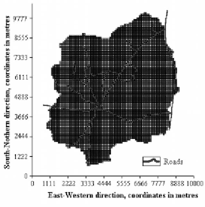
Figure 3.
Grid of the watershed, layer 1 is similar to layer 2.
Aquifer Characteristics
No hydraulic tests could be carried out in the first layer because, during the
project period (1999 to 2003), the water table was constantly deeper than the
bottom of the weathered zone. Thus the hydraulic parameters for that layer
were estimated from the literature. The hydraulic conductivities chosen for
the weathered layer were selected according to two assumptions:
The hydraulic conductivity values must be in the range of the ones found
in the literature for the same type of geology;
The variability in hydraulic conductivity is based on the conceptual model
of the hydrogeological functioning of weathered-rock/hard rock aquifers
in Africa proposed by Chilton and Foster (1995).