Geology Reference
In-Depth Information
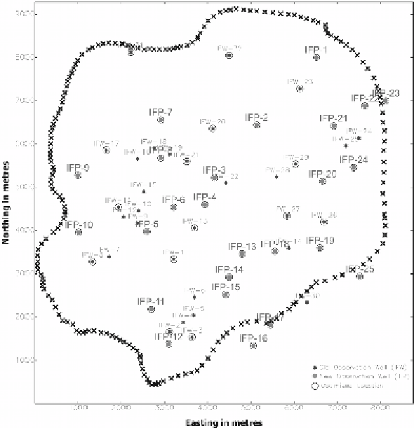
Figure 4.
Optimized well location after geostatistical optimization.
It was also conveyed that the error analysis produced by universal kriging
indicates that most of the increase in estimation error in the water table
surface occurs within a short distance of the observation wells. The error
map is a very powerful tool that can be used to evaluate the reliability of
features on a map produced by universal kriging (Olea and Davis, 1977).
The error map and the semivariogram also can be used to determine where
more information is necessary to refine the map and to estimate the number
of additional measurements that will be needed. In this way, regionalized
variable theory provides criteria by which future measurements can be planned
in order to achieve specified levels of reliability. The estimation error can be
reduced to prescribed limit by taking more measurements in critical areas.
REFERENCES
Agnihotri, V. and Ahmed, S., 1997. Analyzing Ambiguities in the Data Collection
Network Design by Geostatistical Estimation Variance Reduction Method.
Journal of Environmental Hydrology
,
5:
1-13.