Biology Reference
In-Depth Information
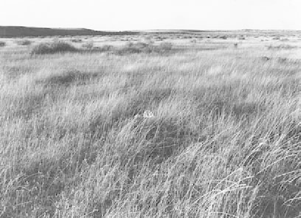
Figure 2.9
Grassland formation of
Bouteloua gracilis
, Colorado. Photograph courtesy of the
National Agricultural Library, Forest Service Photo Collection, National Archives, Washing-
ton, DC.
new crust being generated from the ocean ridges), and the outpouring of
lava that formed the massive Ontong Java Plateau over 30 km thick on the
ocean fl oor off the Solomon Islands. Landscapes were low because older
mountains like the Appalachians had been eroding since about 180 Ma, the
Rocky Mountains and the Mexican sierras were just beginning to form, and
the coastal cordilleras had not yet appeared. The result was an epicontinen-
tal sea extending from the Arctic Ocean through the central lowlands to
the Gulf of Mexico (fi g. 2.10). The separation of the continent into western
and eastern portions is shown by fossil pollen types such as
Aquilapollenites
(fi g. 2.11), found in Cretaceous and Paleocene sediments in western North
America but not in the east, and the Normapolles group (fi g. 2.12) found in
eastern North America and extending into Europe.
The presence of an extensive midcontinent seaway created maritime
climates and buffered the land from extreme seasonal changes in tempera-
ture that characterize continental climates. The present annual tempera-
ture range in North Dakota around 48°N is from 49°C (121°F) to
-
60°C
(
51°F), while in coastal Maine at about the same latitude the range is from
12°C to 2°C. Large lakes have a similar buffering effect, and the coming and
-