Environmental Engineering Reference
In-Depth Information
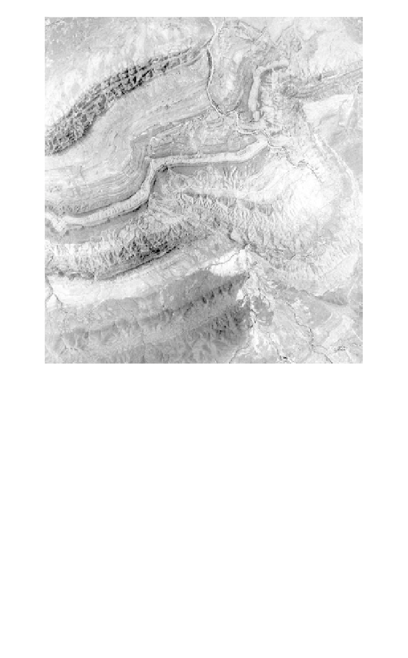
Figure 5.1.
Aerial photograph showing folded sedimentary rocks in Central Australia.
exaggeration can be of benefit as it highlights surface features which are actually more
subtle, but interpreters should realise that the ground slopes viewed under the stereoscope
appear steeper than they really are.
A major advantage of aerial photographs is that distance of observation is not impeded
by relief. It is possible to observe features on both sides of a hill at the same time and thus
establish their continuity, if it is present. This is particularly important in the interpretation
of geological structure.
Landforms which reflect the structure of folded rocks show up well on aerial photo-
graphs. In horizontal strata, mesa forms are common and, in dipping strata, dip slopes
and scarps indicate the direction and dip of the bedding (Figure 5.1).
An important part of photo-interpretation for dam engineering is the recognition and
plotting of lineaments. Lineaments are simply linear features or linear arrangements of
features that are visible on the photographs.
Faults, particularly those which are steeply dipping, usually show up well as lineaments.
A lineament indicative of a fault may be a linear arrangement of features which are topo-
graphically low, or otherwise indicative of the presence of deep soils or low strength mate-
rials. Such features include straight section of rivers or creeks, gullies, saddles, springs,
swamps and usually dense vegetation.