Environmental Engineering Reference
In-Depth Information
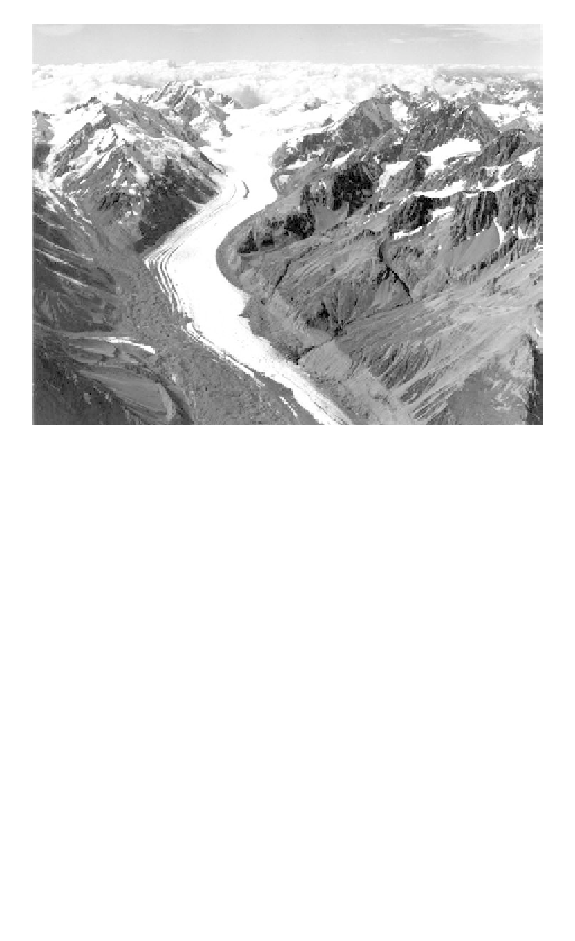
Figure 3.41.
Aerial view of the Tasman Glacier in New Zealand. Photo courtesy of Mr. Lloyd Homer,
DSIR, New Zealand.
-Erosion and shaping by rivers (
Figure 3.42a
)
;
-Erosion and reshaping by ice, and deposition of glacially derived materials (Figure 3.42b);
-Erosion and reshaping of the new landscape and the glacial deposits, by subsequent
rivers (Figure 3.42c).
Such histories have resulted in a wide variety of landscapes and deposits. The deposits vary
widely in their engineering properties. Unfortunately, from examination of the mineral con-
tent and texture of a soil it is frequently not even possible to determine whether or not it is of
glacial origin. If these characteristics are considered in relation to the landforms on or in which
the soil occurs it is often possible to confirm a glacial origin and to make more detailed pre-
dictions about its history and thus about its likely distribution and engineering properties.
Boulton and Paul (1976) introduced the “land system” form of terrain evaluation as a
means of classifying and mapping of sediment sequences and landforms. This land system
approach is used by Eyles (1985) who recognizes three main land systems resulting from
glaciation.
- Subglacial and supraglacial - characteristic of lowlands where sediments and land-
forms were formed by large sheets;
- Glaciated valley - characteristic of areas of high relief in which the ice was restricted to
valleys.
Other glacially-related environments are:
- Periglacial - in which intense frost action modified the glacially developed landforms
and materials;