Environmental Engineering Reference
In-Depth Information
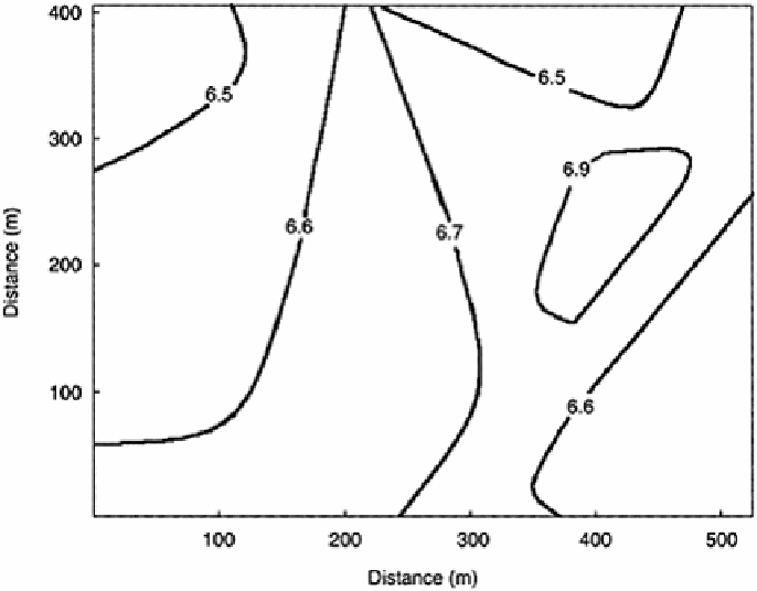
look like contour maps except they show lines of equal concentration or equal values of
some physical constant or chemical characteristic rather than elevations. The lines can be
found by using known values and using kriging to calculate the missing or unknown
values between the known values. A similar map can be drawn of the variance over the
same area, if desired. The type of map obtained is shown in Figure 6.10.
FIGURE 6.10
A map of kriged values. Both a point-kriged and block-kriged
map would look similar.
6.12.4.
Verification of Kriging Results
An interesting characteristic of kriging is that it is possible to check calculations against
values that are later collected or from a group of values not used in the original
estimations. A missing value can be calculated using kriging, a sample can subsequently
be taken from the field at the missing site, and the analytical results compared to the
calculated results. If the geostatistical calculations are valid, then the calculated and new
measurements are reasonably close in value.
Another approach would be to use surrounding values to calculate a known value. At
this point we would assume a known point is missing and calculate its estimated value
from the previously developed equation. The two results should be found to be very close
in value. This method of checking the values is called “jackknifing.”
Search WWH ::

Custom Search