Environmental Engineering Reference
In-Depth Information
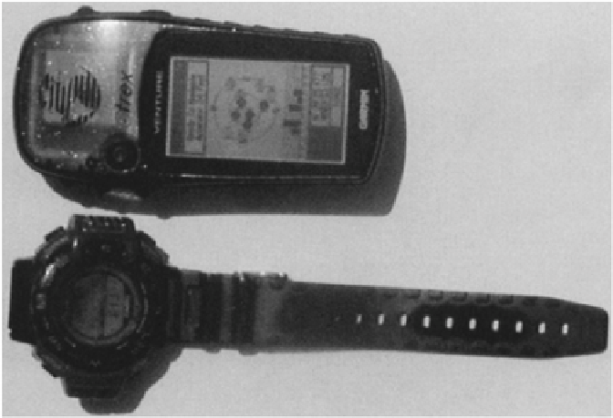
start moving to go to the next waypoint. A simple compass therefore can be a handy
addition when field sampling. Many watches, such as the one shown in Figure 5.4, have
various types of compasses built in, so these can be used in the field in place of a separate
compass. A word of caution, however; calibrate the compass before starting to use it in
the field.
FIGURE 5.4
Handheld GPS unit (top) and watch with compass and altimeter.
5.3.
GROUND-PENETRATING RADAR
Before disturbing the soil surface, and especially before taking samples deep in the soil
profile, a GPR map of the field can be taken. This is particularly important if the field is
likely to contain utilities, gas, water, electric, or communication lines or if it has been
used by armies, in which case it is likely to contain explosives.
Because of its common use in weather forecasting and in both civilian and military
flying, radar is familiar to almost everyone. What is generally unknown is that it can also
be used to investigate underground features without disturbing the soil surface. Radar
works by sending out microwaves which, when reflected from an object (e.g., airplane),
are received by the radar antenna and displayed on a monitor. The direction the
microwaves came from and the distance of the object from the antenna can be calculated.
Both sets of information.are typically displayed on the monitor.
Ground-penetrating radar is similar to any other radar except that the microwaves are
directed into the soil and the reflected waves are analyzed. Radar waves penetrating the
soil are refracted at interfaces between layers or objects with different relative dielectric
permitivity (RDP). This means that the greater the difference in the RDPs the more
Search WWH ::

Custom Search