Environmental Engineering Reference
In-Depth Information
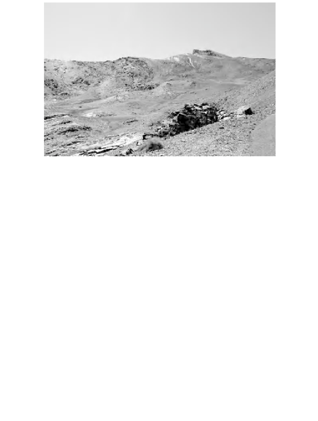
Figure 4.2
Pico de la Veleta (photo by the authors)
The Sierra Nevada, in the southern Mediterranean Iberian Peninsula, lies along
the 37th parallel nearly east-west for about 78 km and occupies an area of
2000 km
2
. The structural origin is highlighted in an asymmetry between the two
large systems of northern and southern slopes. Characteristic morphostructural ex-
posure led to the differentiation between the slopes that face the mainland interior
and those that slope sharply towards the Mediterranean Sea. The Sierra Nevada
mountain region is the third highest in Europe, reaching a maximum altitude at
Mulhacen, but the peak best known for its distinctive shape is the Veleta (elevation
3394 m) (Figure 4.2). This massif hosted the last glacier in the Sierra Nevada, the
Corral del Veleta, which was the southernmost glacier in Europe until its disappear-
ance towards the end of the twentieth century. Various studies have been conducted
to describe this small enclave in southeast Spain. Several geophysical, geothermal
and geomorphological prospecting techniques were used to locate the permafrost
at Corral del Veleta, an area highly sensitive to slight climatic variations, and to
study its evolution under marginal conditions. The results confirm the location of
Europe's southernmost permafrost remnant. The glacial cirque of the deceased Cor-
ral retains only areas of fossil ice and permafrost. In the warmer months, the snow
disappears even from the top, revealing the lack of vegetation and rugged rocks.
The gradual retreat of the ice during the last glacial stage 10 000 years ago has
revealed the different morphologies of overexcavation in the form of depressions
giving rise to glacial lagoons that can be observed today (Figure 4.3). Glaciation in
the Sierra Nevada was generally low intensity and the cirques grow very close to