Environmental Engineering Reference
In-Depth Information
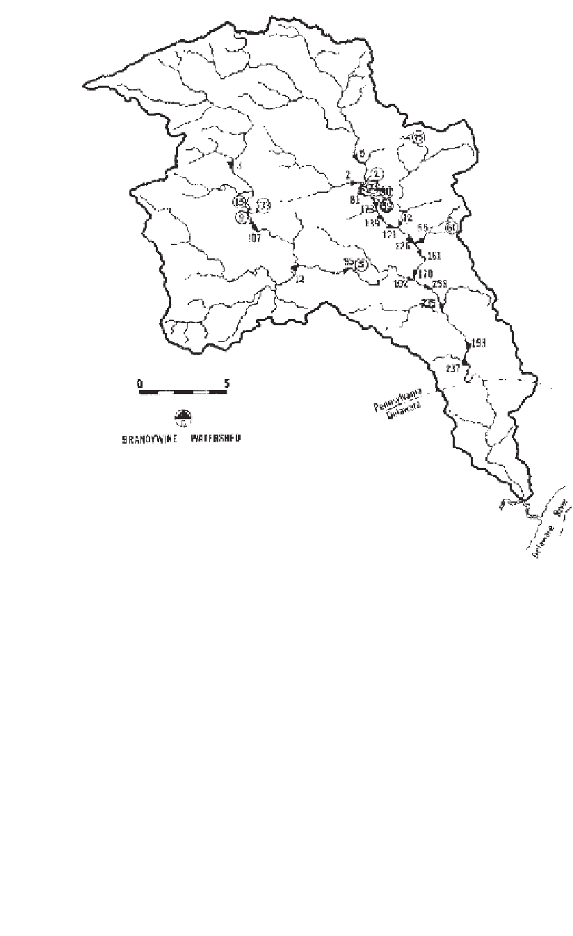
Figure B-4
Mass transport of total phosphorus (lb/day), August 13, 1973.
high-altitude aerial photography and published spatial data on soil series, geol-
ogy, and political-hydrologic boundaries. The relationship between land use and
water quality could be defined by the analysis of these data.
The net result of the mass transport analysis showed that NPS sources of
phosphorus accounted for some 63% of the total loading to the lake, and that
agricultural land use contributed a major portion of that loading. However, the
input from major urban centers (Detroit, Cleveland, Toledo, Sandusky, and Buf-
falo) was not well measured, because they were situated directly on the lake, and
virtually all of the urban stormwater runoff was conveyed to the lake by com-
bined sewers, and the “wet weather” discharges were not sampled in the same


Search WWH ::

Custom Search