Database Reference
In-Depth Information
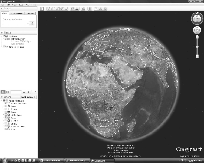
FIGURE 3.9
The iconic Google Earth.
significant, as indeed it was. The result has been to establish some incredibly influ-
ential Web-based resources such as Wikipedia, and social networking sites such as
Facebook and Twitter. Other successful sites act as libraries and hosting services for
community-generated material, very well-known examples being the photographic
site Flickr and the video hosting site YouTube.
None of these sites is free from criticism, especially Wikipedia and Twitter, but
all the sites have acquired user bases of many millions of users. So, whatever the
criticisms may be, the sites are offering something that people want.
Before user-generated GI could be plotted on a Web site against map data, the tech-
nical solutions had to be a bit more sophisticated, and the value of map-based infor-
mation needed to be more widely appreciated. The latter happened with the launch
of resources such as Google Maps in 2005 along with Google Earth (Figure 3.9), a
little later in the same year. Google Earth in particular did three things that ensured
not only its success but also almost a craze for its use for a year or two following its
launch. First, with its novel method of viewing, with the user zooming in from an
image of Earth's globe to the area of interest, and this view being constructed from
satellite and air photos, the application was not only visually appealing but also
provided a more dynamic user experience. Second, it offered a very compelling user
experience; third, it was free to use.
What Google Earth did, more than any other application at the time, was to make
GI, and mapping in particular, something that people wanted to use, even if just to