Database Reference
In-Depth Information
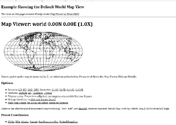
FIGURE 3.8
Xerox PARC Map Viewer. (Courtesy of PARC, © Palo Alto Research Center
Incorporated.)
to respond, and by the late 1990s, all the major GIS vendors had Web-based map
viewers and servers. The creation of the Web also made it far easier for data to be
taken from multiple sources and combined, a process that has become known as a
“mash-up” or “mashup” (a term borrowed from the music industry). If the data was
related by location, it could be displayed against a map, which is sometimes known
as a “map mashup.” All these applications, however, had a fairly simple structure:
locate the thing of interest using either a map or addressed based search, display the
results on a map, and enable simple panning and zooming, with perhaps the ability to
follow a link on the map to find out more information. They did not involve any com-
plex GIS analysis. GI had made it to the Web, but GIS had not, or at least not often.
3.5.1.4 Spatial Data Infrastructures
In many respects, this was the environment that OGC found itself in when develop-
ing its standards. The desire was to maximize the interoperability of GI, and as the
Web was the natural place to exchange GI, it seemed logical that its standards should
support the Web. Governments of many countries began to develop ideas around
spatial data infrastructures (SDIs) in response to the development of standards and
the spread of GI on the Web (even if it was fairly simple map views). An SDI is
essentially a means to exchange and exploit GI using standardized methods—OGC
standards being the natural choice. SDIs can be traced almost as far back as the
first Web-based map applications. In 1993, the Mapping Science Committee of the
U.S. National Research Council proposed a National Geospatial Data Framework.