Database Reference
In-Depth Information
although these technologies can be used to represent the underlying data used to
construct the map.
3.4.2 G
azetteers
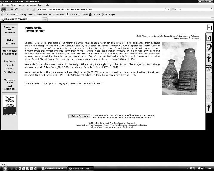
A gazetteer is an index of places (or other spatial objects) that in its most basic form
lists the object against its position. It may also provide some information about the
object. For example, the online gazetteer for Scotland (
http://www.scottish-places.
towns, villages, bens and glens from the Scottish Borders to the Northern Isles.”
Each entry includes a description of the place and its position; an example is given
in Figures 3.6 and 3.7. It may also have associated photographs and information that
relates it to other places, for example, those that border it.
For many years, gazetteers have been seen as somewhat of a backwater in GI:
useful indexes at the back of atlases or maps but not something to cause excitement.
More recently, increasing interest has been shown in gazetteers, and they are under-
going a period of renaissance. Gazetteers in the digital age can be more than just
indexes to maps but indexes to resources, including both data and service resources.
As a consequence, they have an increasingly important role to play in the age of
digital GI and Linked Data.
FIGURE 3.6
Portobello: an example of an entry from the gazetteer for Scotland.