Geography Reference
In-Depth Information
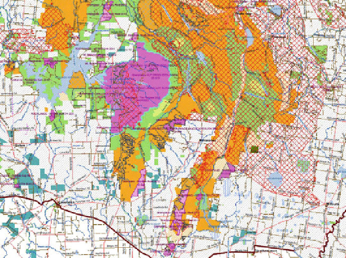
Fig. 2 Planned burning operations plans
General Findings
Some general findings were:
Basically, none of the maps appeared to have been designed considering colour-
blindness at all;
The delivery of standard topographic maps requires conforming to standard
symbology and colour specifications. There is little room to move and little
latitude is available to change the design of these maps from formal specifica-
tions. However, in some cases, maps were produced that were nor legible to the
colour-blind or users with other visual impairments that might be found in an
aging population. As well, the greyscale version of these maps do not have
differing grey values in the original colours to enable differentiation when
displayed as shades of grey.
All maps need greyscale alternative options on the Web site. This is necessary to
ensure that the map can be read by the colour-blind and for users with access
only to a black and white printer are able to generate a usable paper product. No
greyscale options were made available.
An ideal design is one where the grey component of each colour has been chosen
to ensure that the map can work as a greyscale version without the need to