Environmental Engineering Reference
In-Depth Information
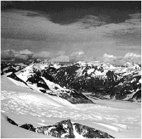
Plate 25.2
Cirque and outlet glaciers of part of the Juneau
icefield, Alaska. Photo: Ken Addison.
Mediterranean peninsulas. In the west, the Pyrenees and associated Ebro (northern Spain)
and Aquitaine (southern France) basins were formed by thickening and thrusting of
European continental plate at the edge of the collision. The Pyrenees are 400 km long and
30-90 km wide, with peaks between 2·0 km and 3·4 km high, culminating in the Pic
d'Aneto (3414 m).
The main Alpine ranges sweep from south-east France (Alpes Maritimes) to eastern
Austria (Hoch-schwab) in a 200 km wide, 1000 km long arc. They were formed by
southward subduction of European plate and northward thrusting of nappes comprising
Tethys
ophiolite
, shelf carbonate,
flysch
sediments and African plate (Figure 25.3). Each
element forms distinct ranges. Carbonates dominate the northern Helvetic Alps and
Tethyan
mélange
forms the more southerly Pennine Alps. The former rise to 4275 m
(Finsteraarhorn) and 4158 m (Jungfrau) and the latter to 4634 m (Monte Rosa) and 4478
m (Matterhorn). Between these ranges, flakes of the crystalline European continental
basement form individual massifs, including the highest European mountain, Mont Blanc
(4807 m). Basement flakes also appear in the Jura mountains (1·0-1·6 km), the youngest
(late Tertiary/ Quaternary) element of the system. They lie north of basins containing
Lakes Geneva, Neuchâtel and Constance. African
klippes
(nappe fragments) form some
of the highest summits (Figure 25.4).
Other Alpine orogens form lower relief to the east. The Carpathian Alps sweep
through Slovakia and Bulgaria (1·0-2·6 km high). Mediterranean marine basins are
flanked by peninsula and island systems - including the Apennines (2914 m), Dinaric
Alps (2522 m) and ranges running through Greece (2917 m) and Bulgaria (2952 m) into
Turkey - which demonstrate microplate rotation and reverse motion. With little