Agriculture Reference
In-Depth Information
the fish that would otherwise eat mosquitoes. They also said that the water
found between the golf course and the fields used to be fresh but has become
increasingly saline.
One year later, the farmers made three separate drawings, which they
used to describe several relationships between health and the environment.
Some messages that had been discussed in the past were apparent, such as the
danger associated with inhalation exposure during spraying; avoiding
spraying under a strong sun because skin pores are more open and absorb
pesticides more easily; and avoiding walking in fields that have been treated.
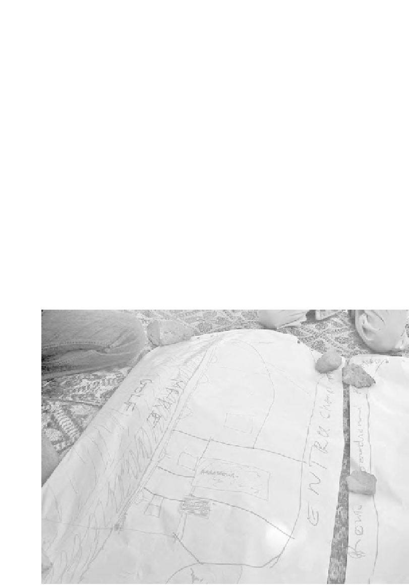
In one drawing, three different plots with ce´anes were depicted with a creek
and fish. A farmer is shown spraying fields with metaphos and pesticide
run-off because of an incline into the water. As fishing is a common activity
in the zone, farmers were concerned about killing or contaminating fish
that would later be consumed. This demonstrated their understanding of
pesticide mobility into the food chain. Therefore, they understood there were
dangers beyond those which might only affect their own persons, indicating
that they were extrapolating risks to the surrounding community residents
and children (Figures 10.6 and 10.7).
The following maps drawn by farmers illustrate more fully the dynamic
interaction between human activity, agricultural practices and impacts on
environment and community health.
Figure 10.5 Map produced by Pikine farmers, 2005