Environmental Engineering Reference
In-Depth Information
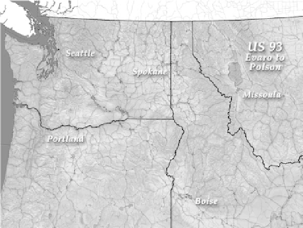
FIGURE 17.1
Regional context of the Pacific Northwest.
signage, and detailed community designs to facilitate consistency between the eight
segments of the project; and (4) designing and constructing the new highway in an
innovative way that fits the landscape and the culture. This project has been of key
importance in opening the door to restoring vital landscape systems that support
the cultural, spiritual, and subsistence life of the Confederated Salish and Kootenai
Tribes.
t
he
l
andsCaPe
The Flathead Indian Reservation is located within the Rocky Mountain Plateau in
northwestern Montana, an area where the Maritime Pacific Northwest, Intermontane
West, and Great Plains ecoregions converge, creating a rich landscape mosaic (Figure
17.1). The watersheds of the Flathead and Jocko Rivers define the formal boundary
of the Flathead Indian Reservation (Figure 17.2). The landscape of the Reservation is
comprised of diverse ecosystems ranging from kettle pond complexes, wetlands, and
aquatic zones, to forested mountains and alpine tundra, to semi-arid grasslands, to
wet meadows, prairies, and rivers. The numerous habitat niches within these ecosys-
tems support a great variety of wildlife species. At least 67 mammal species includ-
ing grizzly bear, elk, moose, lynx, bobcat, fox, antelope, and bison are found within
the boundaries of the Reservation. There are nine known amphibian and reptile spe-
cies, and 308 resident and migrating birds inhabit the Reservation.
The section of highway that runs through the Reservation begins in Evaro at the
south end of the Jocko Valley and ends in Polson where the Mission Valley meets
Flathead Lake. In the Jocko Valley, U.S. Highway 93 runs roughly parallel to the
Jocko River. In the Mission Valley, it runs due north to Polson, between the Flathead
Search WWH ::

Custom Search