Environmental Engineering Reference
In-Depth Information
or regulatory standard, and we were allowed to readily modify or eliminate these
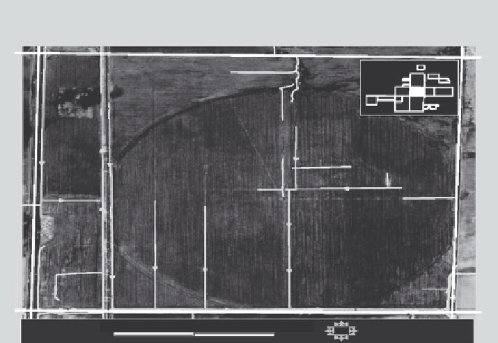
ditches. Center pivot irrigation units such as in Figure 9.7 watered nearly five hun-
dred acres; these were abandoned and sold.
Tile lines were surveyed by finding their outlets into the surrounding ditches fol-
lowed by review of historic installation records and by surveying invert systems and
inlets to develop overall distributional maps (Figure 9.8). Invert elevation surveying
was also conducted.
Because of the heavy investment in drainage infrastructure and the intensive
agricultural uses of the land, we had significant concerns whether a native plant
seed or propagule bank was present in the soil. We randomly stratified each major
soil type and collected eight replicates at each of 2,300 sample locations, where up
to 1 kg of substrates was collected with two inch diameter soil probes to a depth
of 60 cm (Figure 9.9). These soil samples were immediately iced and removed
to the AES greenhouse, where one-half of the sample was put into cold storage,
and the remaining ones were spread in greenhouse flats and placed in a tempera-
ture-, humidity-, and moisture-controlled propagation greenhouse. Each flat was
cycled through three wet and dry cycles; all germinating seedlings were identi-
fied and enumerated to understand the diversity and abundance of the seed bank
plant response. These data were very useful in saving significant money by taking
advantage of the presence of a significant native plant seed bank in some soil types.
These data and quantitative plant compositional data from reference natural areas
within fifteen miles of the project site contributed to our planning for the site. Both
Fair Oaks Farm
1997 Digital Aerial Photography & Hydrology
0
1000
2000
Feet
N
FIGURE 9.7
Surface shallow ditches maintained annually by farmers.
Search WWH ::

Custom Search