Environmental Engineering Reference
In-Depth Information
TABLE 3.2
Some Major Rivers of the United States
River
Length (km)
Drainage Area (km
2
)
Discharge (m
3
/s)
Major Tributaries
Missouri
4,023
1,370,104
2158
Yellowstone River
Platte River
Mississippi
3,764
2,978,486
16,792
Illinois River
Ohio River
Missouri River
Arkansas River
Rio Grande
3,034
870,236
283
Pecos River
Arkansas
2,350
416,988
1,161
Canadian River
Cimarron River
Colorado
2,334
637,137
425
Green River
Columbia
1,854
668,217
7,504
Snake River
Ohio
1,569
525,768
7,957
Allegheny River
Monongahela River
St. Lawrence
1,223
1,025,635
9,854
Great Lakes
Ottawa River
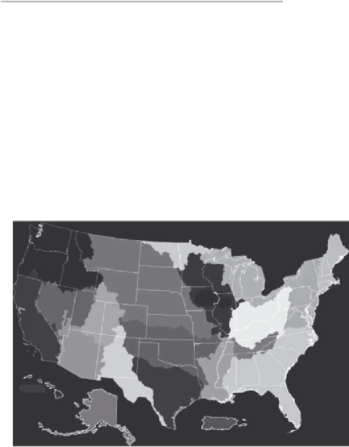
Water resource regions
Pacific
northwest
Souris Red
Rainy
Missouri
Upper
Mississippi
Great Basin
Upper
Colorado
California
Lower
Colorado
Lower
Mississippi
Texas-Gulf
Hawaii
Alaska
Caribbean
FIGURE 3.10
Major watershed regions of the United States. (From United States Geological Survey, Science in your water-
shed, http://water.usgs.gov/wsc/map_index.html, 2010b.)
Table 2.4 lists the major urban areas of the United States and their associated geologic
environments. Table 3.3 contains the same urban areas as Table 2.4, but matches them with
their closest major surface water feature.
Of the 29 urban centers listed in Table 3.3, 12 are located near the ocean and 8 more are
located near bodies of water deep and wide enough to support large-scale shipping. The


Search WWH ::

Custom Search