Environmental Engineering Reference
In-Depth Information
overcome barriers and to integrate data sources since 2008. Hydrographic data is
now being standardized along the 5,000-mile (8,000-kilometer) U.S.-Canada
border. The TDH Task Force has developed a standardized suite of hydro-
graphic interpretations that are now being used by agencies in the U.S. and Canada
(IJC, 2014).
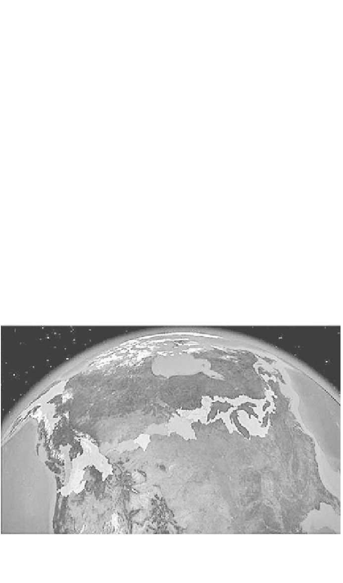
This accomplishment, as depicted in
Figures 4.2
and
4.3,
represents a shift in
the culture of
binational
water governance
.
The lack of synched data sources has
consistently been reported as a major barrier for effective governance of trans-
boundary waters (Norman and Bakker, 2009). The harmonization project, which
was driven by both advances in GIS capabilities and the political will to prioritize
coordinating governance, is perhaps an early sign of a new, postcolonial era of IJC
governance.
Despite these gains, it is important to remain cognizant of the politics of
participation
in watershed governance. As Cohen and Davidson (2011) caution, a
watershed approach should not be privileged as a naturalized scale for water
governance. After all, the governing bodies are still highly political and the
managing bodies are still steeped in national politics. Thus, although a watershed
scale may seem more “natural” than political boundaries and more “inclusive” than
political boundaries, it is important to remember that watershed boundaries are
also socially constructed and politically mobilized (Fall, 2010).
For the International Watersheds Initiative, the governance structures are, at
their very foundation, framed by the IJC - whose power is located in the federal
capitals of Ottawa and Washington, DC. After all, the basis of the IJC is the
Boundary Waters Treaty whose formal signatories only recognize Canadian and
Source: IJC, used with permission.

Search WWH ::

Custom Search