Database Reference
In-Depth Information
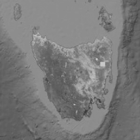
FIGURE 15.5
Tullochgorum, Tasmania, on MODIS satellite image.
to evaluate the purpose of this knowledge integration architecture. Tullochgorum,
Tasmania (Figure 15.5), was selected as case study location for this chapter which
was described by latitude −41.7 and longitude 147.9. All data sets for this site were
automatically downloaded for the time period December 2010 to June 2012, pre-
processed, analyzed, and visualized using unsupervised knowledge extraction tech-
niques, and finally knowledge recommendations were published as LOD cloud. This
was to develop and demonstrate an application of this newly developed environmen-
tal knowledge integration architecture.
15.4.2
t
ime
s
eries
P
roCessing
15.4.2.1 Processing CosmOz Time Series
The Australian Cosmic Ray Sensor Soil Moisture Monitoring Network is a near-
real-time continental scale soil moisture monitoring system being developed by the
Commonwealth Scientific and Industrial Research Organization, Monash University,
Charles Darwin University, and the University of New South Wales. CosmOz aims
to test the utility of Hydroinnova cosmic ray soil moisture probes for water man-
agement, water information and hydrological process research applications, and test
the feasibility and utility of a national near-real-time soil moisture measurement
network. CosmOz also aims to support the evaluation of remote sensing products
and hydrological models across Australia. The cosmic ray soil moisture probe mea-
sures the neutrons released when cosmic rays interact with hydrogen atoms in water
molecules found in the soil. The neutrons are emitted into the atmosphere where
Search WWH ::

Custom Search