Geology Reference
In-Depth Information
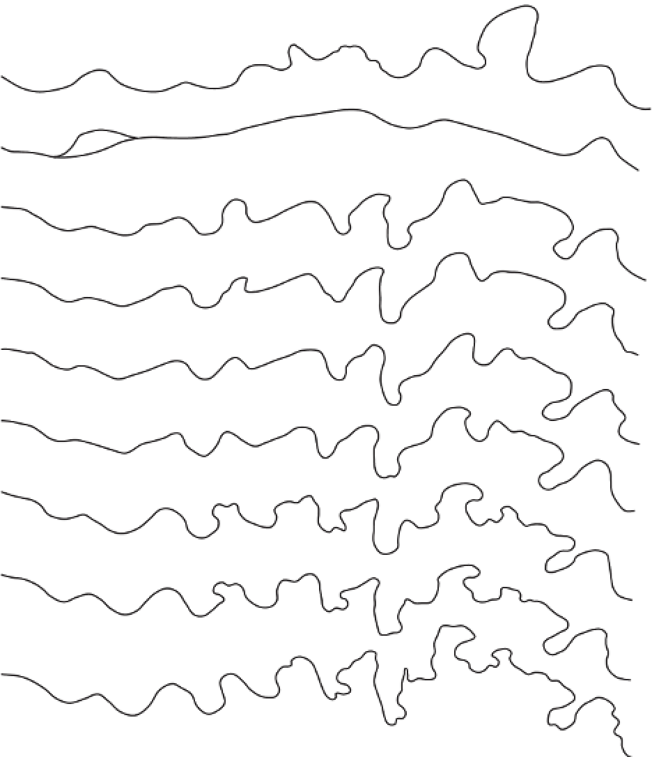
1815
1844
1856
1896
1921
1953
1977-1982
Ordnance Survey raster data
1991 air photo
0
200 m
Direction of flow
Figure 14.1
Channel change in Swinhope Burn, Upper Weardale, Yorkshire. The diagram shows the channel centre-line
determined from maps, plans, and an air photograph.
Source:
After Warburton and Danks (1998)