Geology Reference
In-Depth Information
Table 9.1 Selected morphometric properties of stream networks and drainage basins
Property
Symbol Definition
Network properties
Drainage density
D
Mean length of stream channels per unit area
Stream frequency
F
Number of stream segments per unit area
Length of overland flow
L
g
The mean upslope distance from channels to watershed
Areal properties
Texture ratio
T
The number of crenulations in the basin contour having the maximum number of
crenulations divided by the basin perimeter length. Usually bears a strong
relationship to drainage density
Circulatory ratio
C
Basin area divided by the area of a circle with the same basin perimeter
Elongation ratio
E
Diameter of circle with the same area as the drainage basin divided by the maximum
length of the drainage basin
Lemniscate ratio
k
The square of basin length divided by four times the basin area
Relief properties
Basin relief
H
Elevational difference between the highest and lowest points in the basin
Relative relief
R
hp
Basin relief divided by the basin perimeter
Relief ratio
R
h
Basin relief divided by the maximum basin length
Ruggedness number
N
The product of basin relief and drainage density
Source:
Adapted from Huggett and Cheesman (2002, 98)
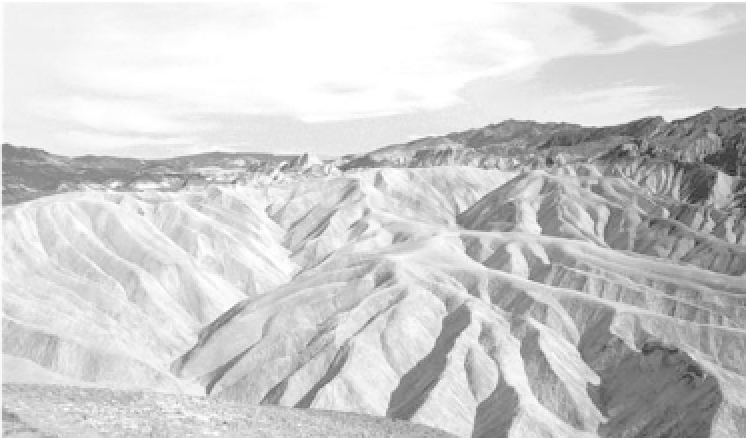
Plate 9.5
High drainage density in the Zabriskie Point badlands, Death Valley, California, USA.
(
Photograph by Kate Holden
)